


i Map Editor app for iPhone and iPad
Developer: NOKKEUSI Inc.
First release : 14 Apr 2016
App size: 26.25 Mb
Today, sending an URL of map via mail is very easy.
But, drawing your original map may be fun and you can make it
more impressive and more understandable.
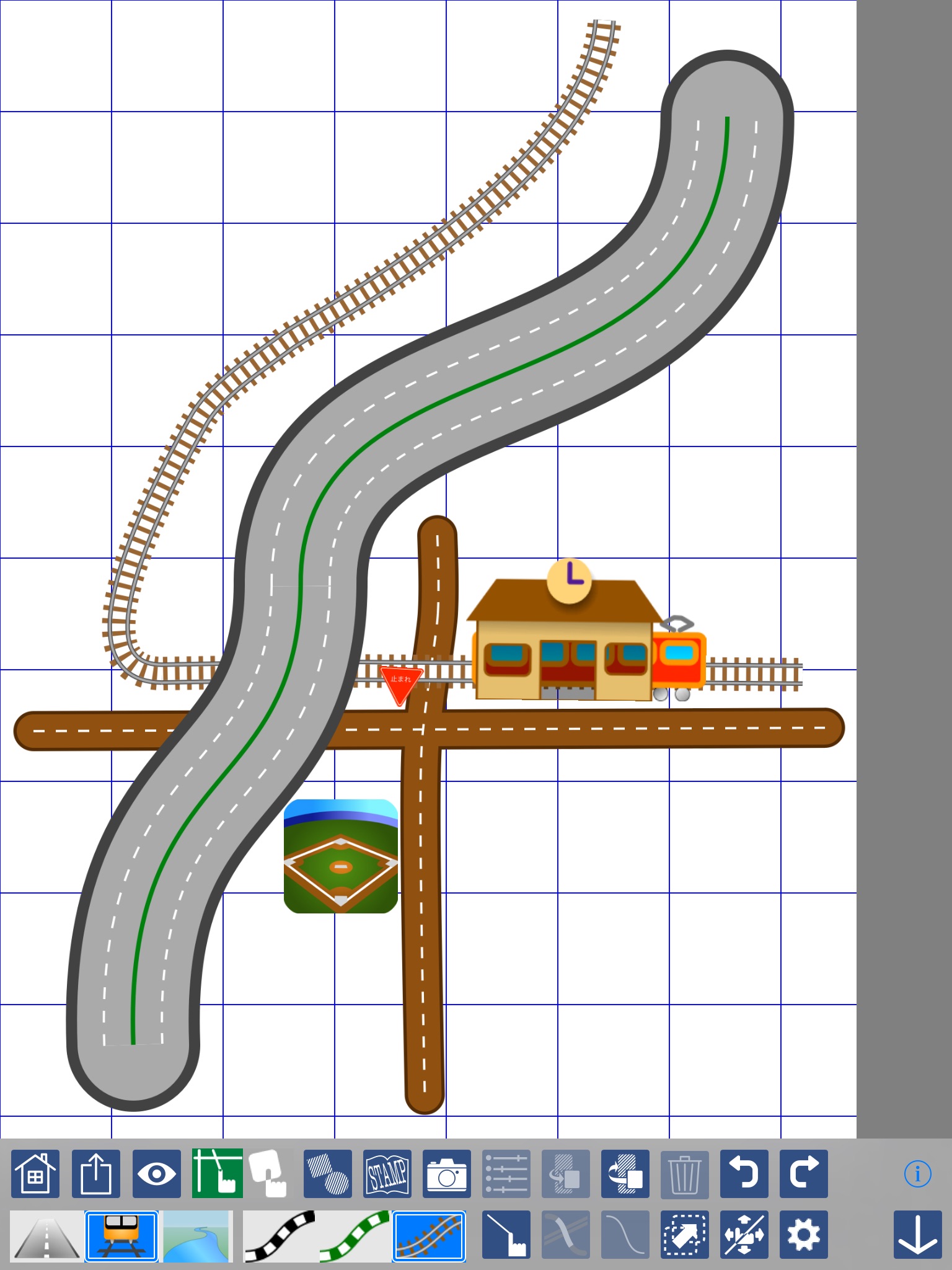
Draw streets with your finger on the canvas.
Intersections is automatically determined when any streets cross. Two streets merges into one shape at the intersection amazingly.
Each stroke of streets has start, end and two curve control points. By dragging these points, a street changes its shape.
It will be very fun.
Default street has two lanes with white dash center line.
You may change it with more lanes and different center line type;
such as orange colored "No Pass" line, green belt, concrete center zone and etc.
Railways and Rivers are also very fun to draw.
Same as street strokes, they have control points with which you can change the shape.
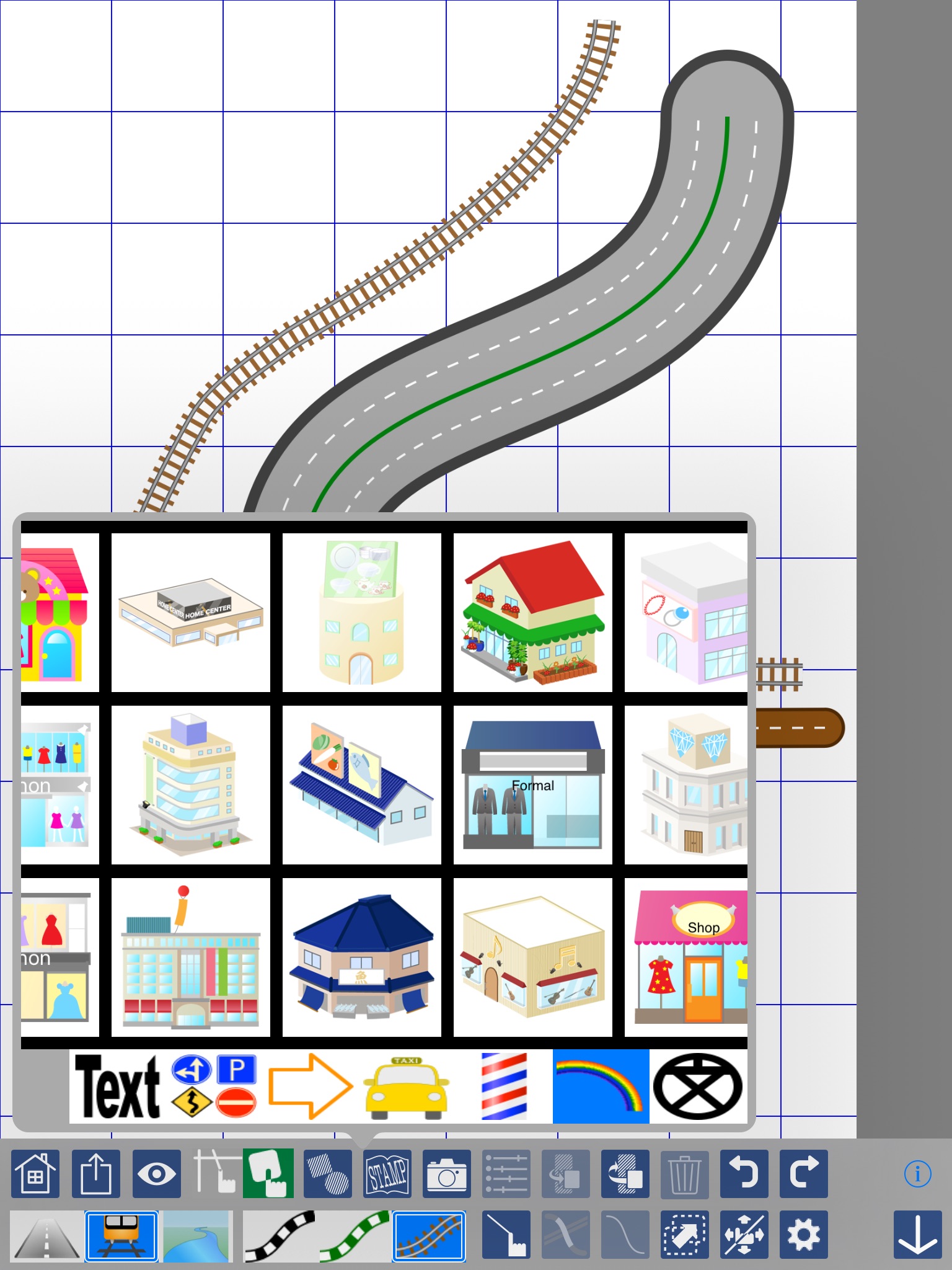
After placing some streets, railways and rivers on the canvas,
"STAMP" button shows you stamp catalog from which
you can choose road signs, map symbols and variety of icons.
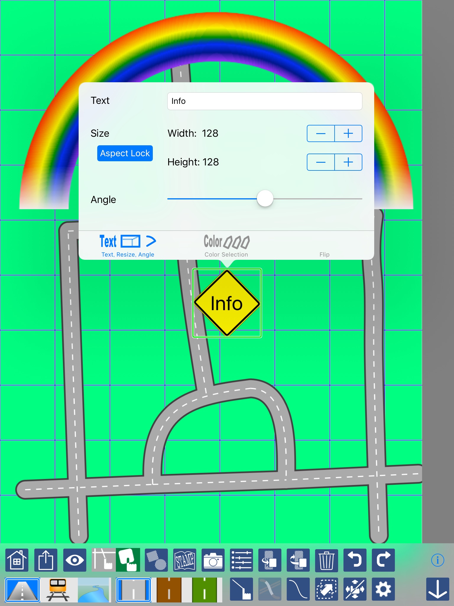
Not only the built in stamps, you can put your own photos or graphic images.
It may be a good idea putting some pictures as milestones on your route guide.
Maps are exportable as graphic files and you can share it attaching on other apps including email, message, iCloud, Dropbox and etc.
Note:
iMap Editor document data is not compatible with the OS X version of Map Editor.